Project Overview

Project Background

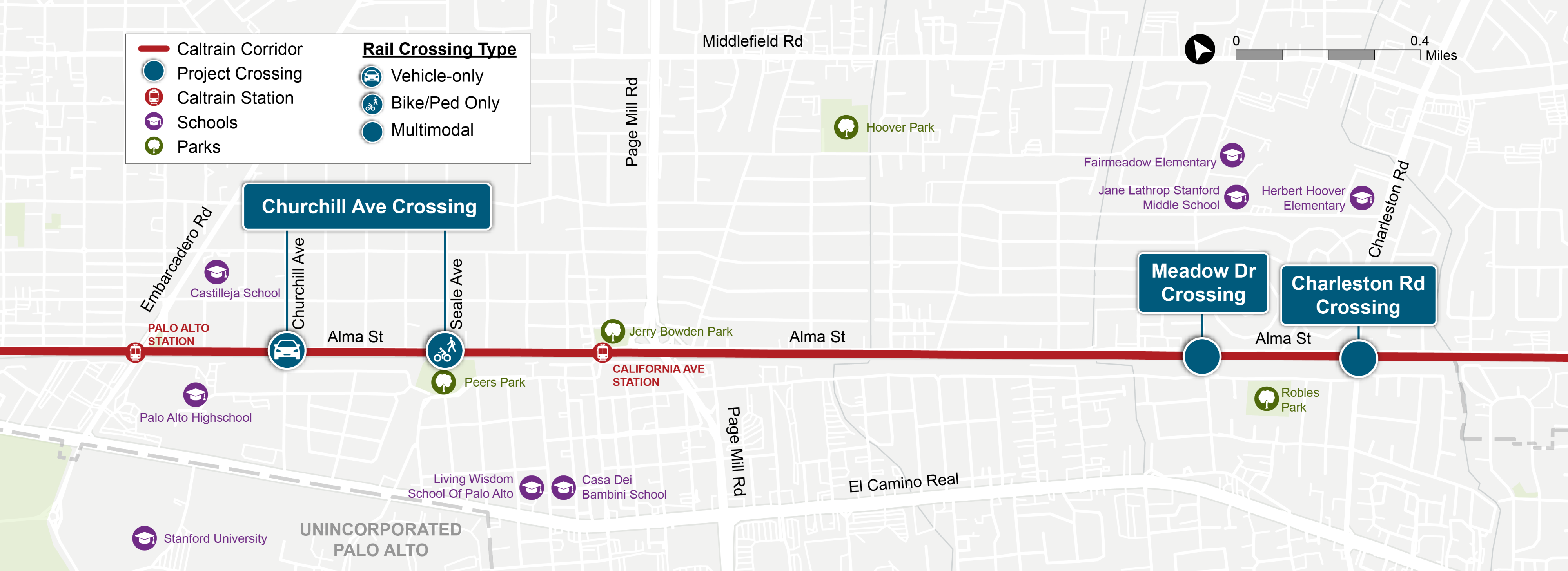
Caltrain and the City of Palo Alto are advancing grade separations on the Caltrain corridor at Churchill Avenue, Meadow Drive, and Charleston Road (the “Project”).

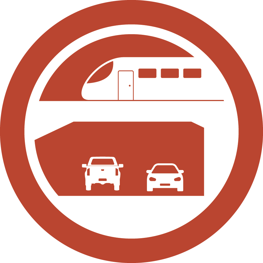
Grade Separation: where a railroad track and a road, pedestrian path, and/or bike path cross at different elevations.

The recent electrification of the Caltrain corridor, along with the expanded service identified in the 2040 Business Plan, will increase train frequency and lead to longer crossing gate downtimes - resulting in greater congestion at at-grade crossings. The Project aims to improve rail safety, reduce traffic congestion, and enhance mobility along the Caltrain corridor and Alma Street, which runs parallel to the railroad tracks, within the City of Palo Alto.

>> To learn more about the full history of the project, visit the City of Palo Alto's project website. 

Project Area


Project Partnership and Funding

This Project is being delivered by Caltrain in close partnership with the City of Palo Alto, Project Sponsor. The City of Palo Alto’s decision process includes:

  1. The City of Palo Alto Rail Committee provides guidance on the evaluation of potential grade separation solutions and recommends actions to the City Council. The Rail Committee’s recommendations are informed through detailed reviews of underpass alternatives, geotechnical assessments, traffic impact studies, noise and vibration and analyses, and Caltrain’s operational requirements. 
  2. The City of Palo Alto City Council (City Council) is the decision maker for the Project. The City Council is responsible for selecting the preferred rail grade separation alternatives which will be confirmed by Caltrain. 

As Project Director, Caltrain is leading the efforts for Preliminary Engineering and Environmental Clearance required for the Project. Caltrain also collaborates closely with the City of Palo Alto on project development activities, deliverables, and engagement needed to support the Project.

The City of Palo Alto, Caltrain, and the Santa Clara Valley Transportation Authority (VTA) have entered into a Cooperative Agreement to advance the Project through Preliminary Engineering and Environmental Documentation Phase for a total of $20 million. Through this agreement, the Project has secured $14 million in funding through VTA’s Measure B Grade Separation Funding. The Project has also received an additional $6 million in funding through the Federal Railroad Administration (FRA) Rail Crossing Elimination (RCE) grant. 

Project Process/Schedule

To facilitate decision-making and expedite refinement of the alternatives, the Project’s Preliminary Engineering and Environmental Documentation Phase is being advanced in two key steps, as shown in the timeline below. 

Schedule - Project Phase Graphic City of Palo Alto Project for Grade Separation


Step 1: Concept Refinement and 15% Design

The first step in the Preliminary Engineering & Environmental Documentation Phase is to refine initial concepts and advance select alternatives into 15% Design. In December 2025 the Palo Alto City Council selected the following alternatives for advancement and more detailed evaluation. Click on each of the alternatives to learn more.

CROSSING
SELECTED ALTERNATIVES

Partial Underpass 
On the west side of Alma Street, Churchill Avenue will be lowered under the Caltrain tracks. On the east side of Alma Street, Churchill Avenue will remain at its existing elevation. At its intersection with Churchill Avenue, Alma Street will be split longwise into an “upper” and “lower” road. The upper road will connect to East Churchill Avenue while the lower road will connect to West Churchill Avenue.

Hybrid
The hybrid alternative will raise the railroad above ground level and lower Meadow Drive and Alma Street. Two structural concepts for supporting the raised railroad are being evaluated as part of the 15% design phase.

Underpass 
The underpass alternative will lower Charleston Road under both the railroad tracks and Alma Street while maintaining the tracks at ground level. Ramps will allow vehicles to drive between Charleston Road and Alma Street.

Step 2: 35% Design and Environmental Documentation

The 35% Design and Environmental Documentation step will continue refinement of the Locally Preferred Alternative's (LPA's) for each crossing to a 35% design level necessary for completion of the necessary environmental clearance under the California Environmental Quality Act (CEQA) and National Environmental Policy Act (NEPA).